A USV is a survey boat with no crew aboard; a manned, or crewed, survey boat carries its operators. Choose a USV when access, repeated survey lines, or reducing personnel exposure controls the mission. Choose a crewed boat when the work depends on immediate physical inspection, adaptable sampling, or equipment intervention. Neither arrangement guarantees better depth measurements: the installed survey system and operating conditions determine the result.
For a useful USV vs survey boat comparison, match the required coverage, depth range, payload, and deliverables first. A portable pond-survey USV and an offshore survey ship solve different problems. This comparison focuses on nearshore and inland bathymetric work, with larger offshore systems treated separately.
On This Page
- Compare the complete survey setup
- What determines survey accuracy
- Integration and failure handling
- Productivity and total job cost
- Which missions suit each platform
- What to require before choosing
Compare the complete survey setup
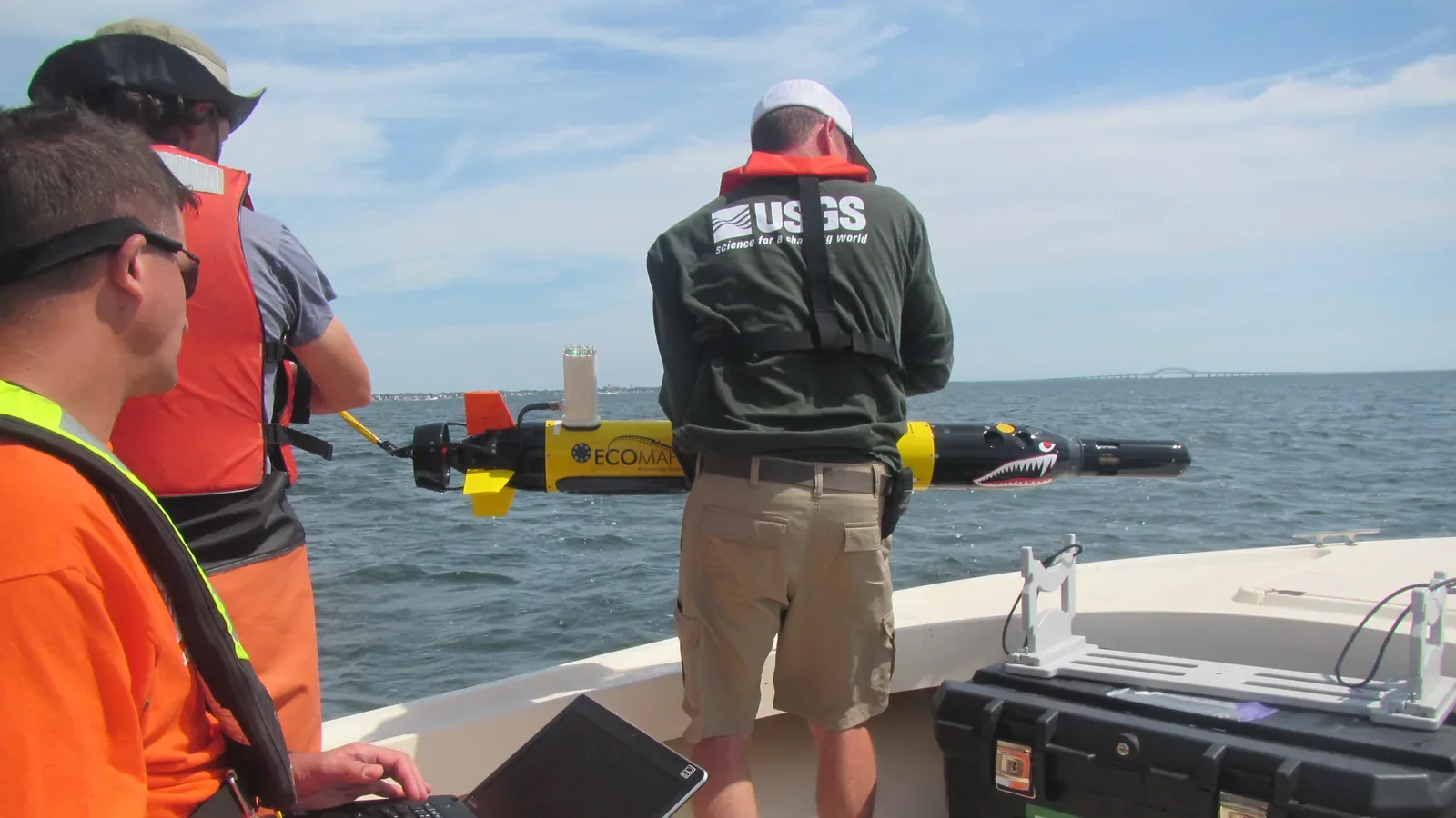
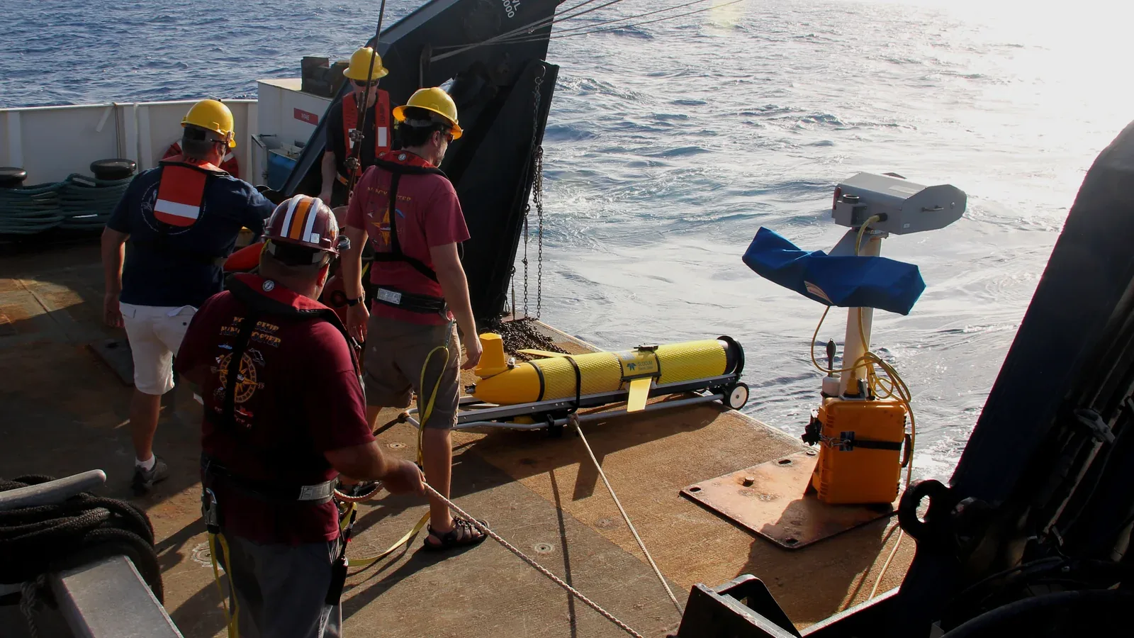
An uncrewed surface vessel may be remotely steered or follow programmed lines while an operator supervises it from shore or another vessel. The word uncrewed describes where people are; autonomous describes functions the system performs. NOAA's Coast Survey operations retain continuous supervision by qualified operators, including when a vehicle follows a programmed route. NOAA's hydrographic USV overview distinguishes small portable systems from larger vehicles used alongside survey ships.
Both platforms need a hull and propulsion system, survey sensors, positioning, data acquisition, and people responsible for the survey. A USV adds a remote operating station and a communications-dependent means of observing and controlling the craft. A crewed boat puts operators close to the equipment and water.
The comparison below assumes each candidate can carry the sonar and supporting instruments required for the same job. It describes selection tradeoffs, not fixed specifications for every vessel.
| Comparison criterion | USV survey setup | Crewed survey boat | What changes the choice |
|---|---|---|---|
| Access and launch | A small vehicle may launch where a crewed boat cannot | Requires a suitable access point for the chosen hull | Check lifting weight, bank access, draft, and recovery route |
| Operator location | Shore station or supporting vessel | Operators aboard | Compare exposure across launch, survey, and recovery |
| Equipment intervention | Usually requires return, recovery, or a dedicated mechanism | Onboard personnel can inspect accessible equipment | Frequent manual work reduces the value of remote operation |
| Navigation awareness | Depends on the installed cameras, sensors, links, and operator view | Crew observe conditions directly, with navigation aids | Test the actual obstructions and traffic pattern |
| Survey quality | Depends on sensors, calibration, corrections, and conditions | Depends on the same measurement chain | Compare accepted data from representative trials |
| Support burden | Includes remote station, communications, power replenishment, and recovery | Includes boat crew, launch facilities, and onboard services | Count the complete deployment, including any support boat |
Source basis: NOAA's operational overview, the 2025 NCDOT inland-USV research report, and Total Hydrographic's dredge-pond field account. The selection implications are editorial synthesis; they are not measured rankings.
What determines survey accuracy
Start with the sonar task. A multibeam echo sounder measures a swath of depths, while conventional side-scan sonar principally produces acoustic imagery for finding and recognizing objects. A side-scan image alone generally cannot supply their depths. NOAA's survey-equipment explanation describes these different outputs. Comparing boats equipped with different sensor classes can mistakenly credit the hull for a payload difference.
For bathymetry, the measurement chain combines sonar travel times with sound speed, position, vessel motion, and a vertical reference. A vertical reference, or datum, is the surface relative to which depths are reported. Positioning accuracy alone does not establish the accuracy of the final depth surface.
NOAA's Hydrographic Survey Specifications and Deliverables, version 2026.0.02, includes sound speed, timing latency, vessel draft, heave, roll, pitch, and datum corrections in the uncertainty assessment. For its internal-source surveys, it also requires crosslines and investigation of excessive differences from the main survey lines. Those checks remain relevant whether a person rides aboard or watches from shore.
The IHO S-44 standard, edition 6.2.0, is technology independent. Its survey orders address matters such as uncertainty, coverage, and feature detection. They are not approvals of a USV model or a crewed vessel. The responsible authority decides whether the survey meets its requirements.
A useful comparison therefore asks whether both systems can deliver the specified surface and detect the required features at the site's depths. Demonstrating repeatable route following is helpful, but it does not prove that the sonar covered every required area or that the depths are correct.
Separate the conditions in which a vessel can remain afloat from those in which it can acquire acceptable data. Ask for results with the proposed payload at representative wave and current conditions, including heading changes. Neither the absence of a crew nor the presence of a larger hull establishes a usable survey window by itself.
Integration and failure handling
Connect the sensors through to the deliverable
Before accepting either platform, request a sample dataset from the proposed configuration and process it through the intended software. Confirm that raw sonar observations, positioning, motion, calibration information, and vertical-reference details survive the transfer. A convincing live map is insufficient if the recipient cannot reproduce or assess it.
NOAA's 2026 specifications separately address raw data, point clouds, grids, coordinate reference systems, and metadata. Use the actual client's delivery specification to establish what must be retained. This is particularly useful when comparing an integrated USV package with a crewed boat carrying independently selected instruments.
Treat communications as part of the operating system
For a USV, distinguish steering commands, vehicle status, situational video, and survey-data transfer. Ask what remains available if one service becomes slow or disappears. Determine whether raw data continue recording locally, how the operator learns of degraded positioning, and who can take control. These are questions for the proposed configuration, not assumed capabilities.
The NCDOT-funded inland study integrated a third-party real-time kinematic (RTK) satellite-positioning receiver and a first-person-view camera into its test USV. RTK uses correction information to refine the position estimate. The field work examined positioning near structures, maneuverability, battery consumption, and deployment logistics. The camera helped operators navigate around structures and debris. That experience makes bridge approaches and obstructed banks useful trial locations when they are part of the assignment; open-water demonstrations alone do not answer those questions.
Specify and demonstrate responses to lost control communications, degraded navigation, low energy, and propulsion failure. A nominal return route must remain suitable for the site. For a crewed boat, ask how the team will respond to the same equipment faults and how it can return safely. Personnel aboard provide intervention options, but they also remain exposed to the waterborne emergency.
Productivity and total job cost
Survey productivity is the amount of acceptable coverage delivered over the whole job. Top speed and advertised endurance do not measure that. Multibeam swath width depends partly on depth, so shallow work can require closely spaced lines even when a craft follows them precisely. Sound-speed profiling can also interrupt acquisition, as NOAA's equipment guidance explains.
For planning, use this simple relationship:
Usable area per hour ≈ survey speed × effective new coverage width × productive-time fraction.
Use speed in metres per hour and width in metres to obtain square metres per hour. Effective width excludes overlap and unusable outer coverage. The productive-time fraction accounts for turns, interruptions, and other time without useful new coverage. This is a planning approximation, not a performance claim; irregular boundaries, feature investigations, and repeated lines require separate allowance.
For example, if two candidates demonstrate the same effective width and survey speed, their difference in output comes from productive time and rework. A vehicle that stays out longer can still lose its advantage if recovery, data gaps, or repeated troubleshooting consume the gain.
Compare quotations against the same completed deliverable. Include mobilization, operators, vessel or USV time, any support craft, communications, energy, maintenance, processing, quality checks, and expected revisits. Treat that list as a costing worksheet. There is no defensible universal savings percentage for the two platform classes.
Which missions suit each platform
Shallow access and routine repeat surveys: A small USV is a strong candidate where a crewed boat cannot safely reach the required water or where keeping people off the survey area is valuable. NOAA uses small systems for very shallow disaster-response work. Verify that the proposed vehicle can also be recovered from the site's difficult locations; easy deployment is only half the task.
Changing sediment conditions and hands-on investigation: A crewed boat can be the better choice when an unexpected return needs immediate physical checking. In Total Hydrographic's Australian mineral-sand dredge-pond project, staff aboard a boat used a survey staff to confirm a suspended sediment layer. The company reported that onboard observation and verification became especially valuable as conditions deteriorated. This is one operator's site-specific account, not proof that crewed craft always survey ponds faster. It does identify a concrete task to include in the comparison: how will the team distinguish the required bottom from an ambiguous acoustic return?
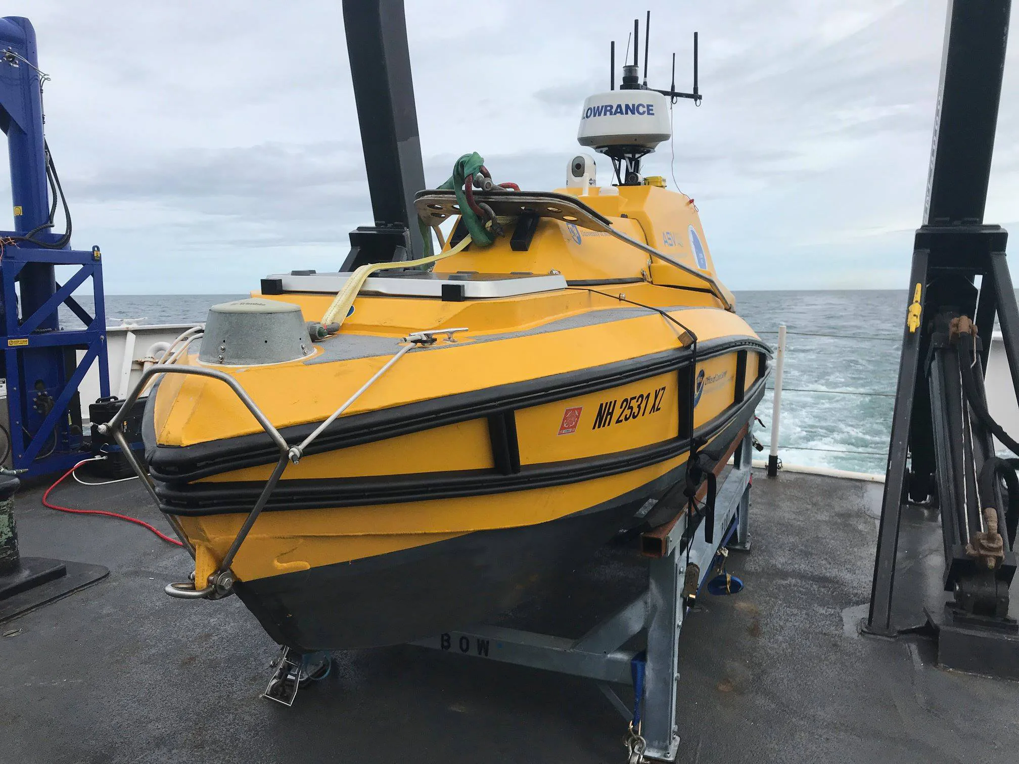
Longer offshore assignments: Evaluate a purpose-built offshore USV against the actual survey vessel and support plan. Portable inland models are an unsuitable basis for that decision. NOAA Ocean Exploration's USV overview describes varied propulsion, sensor payloads, deployment arrangements, and operations with other vessels. Size, power, payload handling, and mission duration must be specified together.
Mixed survey areas: A combined deployment may fit best. NOAA operates larger USVs in tandem with hydrographic ships. A project can similarly assess whether separate platforms suit different portions of the work, while counting coordination and support costs. Combining platforms still requires consistent references and quality checks across the resulting datasets.
What to require before choosing
Give both providers the same project description and request five concrete items:
- The required depths, coverage, feature-detection capability, uncertainty limits, and deliverable formats.
- The exact payload and supporting positioning, motion, and sound-speed equipment, including how calibration is maintained.
- A representative dataset and a demonstration covering the site's difficult conditions, with rejected data and repeated lines identified.
- The launch, recovery, supervision, communications, and failure-response arrangements, including operating limits for weather, current, and traffic.
- A complete job quotation identifying support craft, processing, revisits, and what happens when conditions prevent acceptable acquisition.
Choose the USV when its access and operating advantages survive that comparison. Choose the crewed boat when onboard work or intervention is central to finishing the survey. If different parts of the site require different strengths, price a combined deployment. The deciding result is a usable survey delivered under the project's actual conditions.
Sources
- NOAA Coast Survey: Uncrewed Systems for Hydrographic Surveying. Agency operational overview covering supervision, shallow-water work, and tandem surveys.
- NOAA Coast Survey: Hydrographic Survey Equipment. Technical explanation of sonar outputs, coverage, and supporting measurements.
- IHO Standards for Hydrographic Surveys, S-44 edition 6.2.0. October 2024 international standard defining technology-independent survey requirements.
- NOAA Hydrographic Survey Specifications and Deliverables, version 2026.0.02. Technical specification for uncertainty, data checks, and submission requirements within its stated scope.
- Evaluation of Unmanned Surface Vessel Technology for Bathymetric Surveying of Inland Environments. NCDOT-funded 2025 research report; its repository summary describes integration and field findings.
- Total Hydrographic: Manned vs Unmanned Vessels. Firsthand commercial survey-operator account of a changing dredge pond, with site-specific limitations.
- NOAA Ocean Exploration: Uncrewed Surface Vessels. Agency explanation of platform diversity and deployment, also identifying the featured C-Worker 4 photograph.
Last checked: September 7, 2026.