Choose an ROV when the job requires a person to see, decide, and act at the worksite in real time, especially for close inspection, manipulation, repair, or targeted sampling. Choose a powered AUV when the priority is an untethered, repeatable survey over an area, with the vehicle following a planned mission and returning recorded data. Choose an underwater glider when the mission values long-duration, energy-efficient measurement of the water column more than speed, station keeping, heavy payloads, or close-up intervention.
An underwater glider is not a third category parallel to AUVs. It is a specialized type of AUV. Its buoyancy engine and wings trade speed and maneuvering authority for low energy use and persistence. In practical selection, the fair comparison is therefore a tethered ROV, a conventional powered AUV, and a buoyancy-driven glider. The right answer follows from the work to be done, the data that must come back, the operating environment, and the support system available.
The definitions that shape the decision
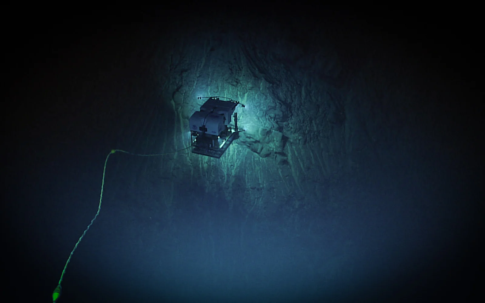
NOAA's direct comparison defines an ROV as an unoccupied underwater robot connected to a ship by cables that carry command and control signals, while an AUV operates independently without connecting cables (NOAA National Ocean Service). NOAA's ROV overview adds that a tether can return live video and that larger vehicles can require a winch plus an A-frame or crane for launch and recovery (NOAA Ocean Exploration). That continuous connection is the ROV's defining advantage and its defining constraint. It can deliver live imagery and operator judgment at depth, but the tether, launch equipment, surface power, control station, and support vessel are parts of the operational system.
An AUV is untethered and executes instructions through onboard control. NOAA describes AUVs as completing pre-planned missions without direct control, collecting high-resolution data onboard, and returning the record after surfacing (NOAA Ocean Exploration). Some vehicles also exchange limited status or commands acoustically underwater, then use radio or satellite links at the surface. That communication should not be confused with continuous high-bandwidth teleoperation.
A powered AUV typically uses propellers or thrusters and carries its energy onboard. A glider changes buoyancy to descend and rise, while wings turn that vertical movement into forward travel. NOAA's Atlantic Oceanographic and Meteorological Laboratory explicitly calls an underwater glider an AUV and says the low-energy method can support missions lasting weeks or months across long distances (NOAA AOML). WHOI similarly describes its Spray glider as an AUV that follows programmed routes, surfaces periodically for data transfer and new commands, and uses internal bladders to control buoyancy (WHOI). Those are institutional descriptions and reported capabilities, not guarantees for every current, payload, battery, route, or sea state.
Mission decision matrix
| Decision factor | ROV | Powered AUV | Underwater glider |
|---|---|---|---|
| Human control | A pilot observes and directs the vehicle throughout the dive | Onboard control executes a planned mission, with limited intervention while submerged | Onboard control follows a planned route, with updates normally exchanged when the glider surfaces |
| Tether or connection | A tether or tether system carries commands, data, and often power | No ship connection during the mission | No ship connection during the mission |
| Endurance pattern | Often bounded by vessel, crew, tether, maintenance, and installed-system limits | Bounded by onboard energy, payload demand, speed, reserve policy, and recovery plan | Designed for low-energy persistence, but payload, currents, routing, and surfacing reduce duration |
| Communications | Continuous high-bandwidth command, telemetry, and live imagery when the system supports them | Limited underwater status or commands; the complete data record commonly returns after recovery | Selected data and new commands normally pass through a radio or satellite link at the surface |
| Payload pattern | Cameras, lights, sonar, manipulators, tools, and other payloads supported by the full system | Survey and science payloads balanced against onboard energy, volume, drag, and storage | Low-power oceanographic or passive sensors with constrained power and telemetry |
| Coverage pattern | Detailed work around a target or compact site | Repeatable lines or area survey at a planned altitude, speed, and resolution | Long transects and repeated water-column profiles |
| Recovery requirements | Managed through the tether and launch-and-recovery system; larger systems need deck equipment | The untethered vehicle must be located, surfaced, and safely recovered | Deployment, periodic tracking, safe surfacing, and often distributed recovery must be planned |
| Best-fit missions | Live inspection, intervention, manipulation, repair, and selective sampling | Sonar, imaging, mapping, or environmental survey where repeatability and coverage matter | Persistent regional observation where low energy use matters more than speed or station keeping |
| Primary limitations | Tether handling, current loading, vessel dependence, deck equipment, and staffing | Underwater communications, navigation drift, finite energy, obstacle risk, and recovery exposure | Low speed, limited maneuvering authority, payload constraints, currents, and surface-traffic risk |
This matrix is a starting point, not a ranking. It consolidates the decision-relevant distinctions in NOAA's AUV and ROV comparison, its ROV and AUV overviews, and the NOAA AOML glider description. Vehicle architecture varies widely within each class. Payload, environment, support plan, and recovery method can materially change endurance and operating burden.
Choose the data product before the vehicle
The clearest selection question is: what evidence must exist when the mission is over?
For a valve, connector, hull feature, cable, habitat, or sample site that must be examined from several angles while a specialist directs the view, an ROV preserves the human decision loop. The operator can stop, reframe the camera, approach a feature, use sonar in low visibility, or position a tool. Live observation also lets the team change priorities before leaving the site. This is why an ROV is often the strongest fit for intervention and diagnostic inspection, even if an autonomous vehicle can reach the same depth.
For a bathymetric surface, sidescan mosaic, magnetic survey, or repeated line pattern, a powered AUV can separate the subsea vehicle from the ship's immediate motion and follow a programmed route. AUV selection should still begin with data requirements: required resolution, line spacing, altitude above bottom, navigation accuracy, acceptable gaps, and the processing workflow. A long nominal range has little value if the payload cannot produce the needed resolution at the planned speed and altitude.
For temperature, salinity, oxygen, fluorescence, acoustics, or other water-column measurements across time and distance, a glider can turn persistence into the main capability. NOAA notes that ocean gliders surface to transmit data and receive instructions, while their buoyancy-driven motion uses relatively little energy (NOAA Ocean Service). The resulting sawtooth path produces vertical profiles along a transect. It is not a substitute for a powered vehicle that must hold a tight altitude over complex terrain or rapidly inspect a discrete target.
Data latency matters as much as sensor capability. An ROV can put live imagery and instrument readings in front of the team, subject to the installed link and onboard systems. A powered AUV commonly returns the full-resolution record after recovery, although summaries and health messages may be available acoustically. A glider normally surfaces periodically and sends selected data through a low-bandwidth link. If an operational decision needs full-resolution imagery within minutes, that requirement may eliminate otherwise capable autonomous platforms.
Control, navigation, and uncertainty
Underwater vehicles cannot generally rely on continuous satellite navigation below the surface. The system instead combines instruments and external references such as inertial navigation, Doppler velocity logs, depth sensors, compasses, acoustic positioning, and terrain or feature matching. The configuration determines how position error grows and how accurately a vehicle can revisit a line or target.
An ROV may receive a position solution from a ship-based acoustic system while its pilot reacts to video, sonar, vehicle telemetry, and tether behavior. Human control is valuable, but it does not remove navigation error or poor visibility. It also creates staffing demands: sustained operations require trained pilots, navigators, engineers, and disciplined watch handovers. For deep tethered operations, the vessel may also need dynamic positioning. NOAA explains that such a system combines position and motion inputs to command the ship's thrusters and propellers, helping protect a cable-connected ROV and its target from unintended vessel movement (NOAA Ocean Exploration).
A powered AUV carries the control loop onboard. Mission design must anticipate current, terrain, obstacles, sensor faults, energy reserves, navigation uncertainty, and abort behavior before launch. Acoustic updates may help, but bandwidth and range are limited compared with a tether. The buyer should examine what the vehicle does when it loses bottom lock, exceeds a depth boundary, detects a leak, cannot reach a waypoint, or has less energy than planned. "Autonomous" describes the control architecture, not freedom from supervision, recovery planning, or operational limits.
A glider accepts even less direct control underwater. It can alter buoyancy, pitch, and heading, but it moves slowly and cannot overpower every current. Route feasibility depends on the current field and on where the vehicle can safely surface to acquire position, communicate, and receive a revised plan. Inference for buyers: a glider may be operationally excellent in a region where persistence is valuable and current forecasts are usable, yet be a poor fit near tight structures, heavy traffic, surf zones, steep terrain, or an area where surfacing is unsafe.
Payload and movement are coupled
Payload comparisons should use the complete installed configuration. Mass, volume, hydrodynamic drag, buoyancy, trim, electrical load, heat, data rate, connector design, pressure rating, timing, and electromagnetic or acoustic interference can all change performance. A payload that physically fits may still reduce endurance, destabilize a glider, obstruct a camera, degrade acoustic data, or require software integration that is not available off the shelf.
An ROV can be a stable platform for power-hungry lights, live cameras, sonars, manipulators, and tools because power and data can pass through the umbilical. That does not mean payload capacity is unlimited. Added equipment changes drag, tether loading, trim, launch mass, and access for manipulators. Pressure housings and interfaces also need appropriate engineering review.
A powered AUV balances propulsion, hotel load, sensor load, and reserve energy from an onboard supply. Higher speed can improve daily coverage but can also increase propulsion demand and reduce the quality of some measurements. Optical survey may require slower motion and careful altitude control. Sonar geometry, navigation quality, and post-processing determine whether nominal coverage becomes usable data.
A glider's economy comes from avoiding continuous propulsive power, so sensor demand can become a large share of the energy budget. Compact oceanographic sensors and passive acoustic instruments can be natural fits. High-power lighting, continuous high-rate sonar, heavy sampling mechanisms, and large data transfers work against the architecture. The editorial conclusion is straightforward: compare endurance only with the proposed payload, sampling schedule, surfacing interval, and communications plan included.
Published specifications are examples, not promises
Institutional vehicle pages show how wide the categories can be. NOAA's exploration vehicle summary sheets describe Deep Discoverer as a two-body ROV that returns live video, uses two manipulator arms, and is rated there to 6,000 meters. The same collection describes Sentry as an untethered, battery-powered AUV with thrusters, sonar, cameras, onboard sensors, and a stated 6,000-meter capability (NOAA Ocean Exploration vehicle summary sheets). These are published descriptions of named research systems, not generic specifications for all ROVs or AUVs.
WHOI's published Jason support-vessel guidelines illustrate why a vehicle specification is only part of an ROV decision. That named system calls for control and workshop containers, a deep-sea survey winch, dedicated launch and recovery hardware, tow-cable handling, substantial electrical power, deck capacity, and station keeping (National Deep Submergence Facility). Those requirements belong to Jason/Medea and should not be assigned to every ROV. They do show why an apparently simple platform comparison must include mobilization and the host vessel.
Specifications should therefore be treated as inputs to a mission model. Ask a supplier or operator to state the assumptions behind depth, endurance, range, payload, speed, navigation accuracy, sea-state limit, and turnaround time. Then compare those assumptions with the intended route, sensor duty cycle, reserve policy, launch method, water properties, current, seabed relief, and recovery window.
Compare the total system, not the vehicle alone
The purchase or charter decision should include every element needed to produce an accepted data set or complete an intervention. No prices are needed to expose the major differences.
Whole-system implementation implications
| Requirement | ROV system | Powered AUV system | Glider program |
|---|---|---|---|
| Surface support | Vessel, control space, power, tether management, launch and recovery equipment, and often dynamic positioning | Launch and recovery platform, mission control, charging, acoustic tracking or communications, and recovery capability | Deployment and recovery assets, shore control, satellite communications, tracking, and regional response capability |
| People | Pilots, engineers, navigator, deck crew, subject specialists, and watch coverage | Mission planners, vehicle technicians, deck crew, data processors, and recovery team | Pilots or fleet operators, sensor and data specialists, maintenance staff, and recovery coordination |
| Integration | Tether, tools, manipulators, cameras, lights, payload interfaces, and topside displays | Payload power and timing, navigation, mission software, storage, processing, and abort logic | Buoyancy and trim, low-power sensors, sampling schedule, telemetry selection, and surfacing behavior |
| Recurring burden | Vessel time, crew rotations, tether and winch maintenance, spares, and mobilization | Batteries, calibration, mission planning, launch and recovery, data processing, and lost-vehicle contingency | Batteries, biofouling control, calibration, communications service, fleet maintenance, and distributed recoveries |
| Main operational exposure | Tether entanglement, current loading, launch risk, and vessel dependency | Navigation drift, obstacle or terrain conflict, recovery failure, and delayed access to full data | Current displacement, slow response, surface traffic, biofouling, and remote recovery logistics |
This broader boundary can reverse an apparent vehicle-level advantage. A small ROV may be easy to transport but ineffective in the target current or unable to carry the required tool. An AUV may reduce ship involvement during the dive but still need a capable vessel and deck team for safe launch and recovery. A glider may consume little propulsion energy while requiring months of shore monitoring, communications, calibration, maintenance, and recovery coordination.
Data handling belongs in the same budget and schedule. Define file formats, time synchronization, calibration records, navigation post-processing, quality control, storage, review tools, and final acceptance criteria before selecting hardware. If the organization cannot process the sensor output quickly enough, more coverage can produce a larger backlog rather than a better operational result.
A practical selection sequence
Start with a written mission profile that names the target, environment, required action, data product, spatial resolution, latency, duration, and acceptable loss. Mark the requirements that cannot be traded. A need to turn a valve points strongly toward an ROV. A requirement for tightly spaced bathymetric lines across a broad site points toward a powered AUV. A season of repeated temperature and salinity profiles points toward a glider.
Then test the concept against operational reality:
- Confirm depth, current, terrain, visibility, traffic, weather, and surfacing constraints.
- Model energy and endurance with the actual payload, sampling rate, speed, reserve, and communications schedule.
- Define navigation performance and the reference systems needed to meet the data tolerance.
- Design launch, recovery, abort, lost-communications, and lost-vehicle procedures.
- Account for vessel, deck equipment, control space, crew, training, spares, maintenance, calibration, software, and data processing.
- Require an integration and acceptance plan that measures the finished system against mission outcomes.
Where requirements split cleanly, a mixed architecture may be more credible than forcing one platform to do everything. A powered AUV can map a site, after which an ROV investigates selected anomalies or takes samples. Gliders can provide regional context while a vessel and intervention system address discrete targets. This is editorial analysis based on the complementary control, mobility, and data characteristics above, not a claim that every multi-vehicle operation will be simpler. Coordination adds its own communications, timing, data-fusion, and support burden.
The final choice is less about which robot is most advanced and more about where intelligence, energy, and judgment must sit during the mission. Put the operator in the loop through a tether when immediate judgment and physical action dominate. Put control onboard a powered AUV when repeatable spatial coverage dominates. Use the specialized glider branch of the AUV family when persistent, low-energy water-column observation dominates. Buy or contract for the entire operational and data system that makes that choice useful.
Sources and scope
This guide uses NOAA definitions and ocean-glider explanations plus current WHOI and National Deep Submergence Facility pages for concrete platform examples. Exact capabilities remain vehicle, payload, environment, and mission specific. The article provides research-based selection guidance, not hands-on test results, vendor endorsement, or a substitute for mission engineering and marine operations review.