Autonomous mining robots combine onboard sensing, position estimation and machine control to move material or inspect workings with reduced direct operator involvement. Dust, darkness and rough ground challenge different parts of that chain. Useful autonomy depends on recognizing when navigation is unreliable, respecting operating zones and recovering without exposing people to uncontrolled machinery.
The system boundary includes the mine's maps, communications, traffic rules and access controls. A robot that navigates a cleared research tunnel and a loader working in a production fleet solve related problems, but demonstrate different capabilities.
On This Page
- Where mining autonomy is used
- How sensing becomes machine movement
- Dust and darkness require different responses
- Rough terrain changes the meaning of a clear path
- Fleet interfaces and safety boundaries
- Evaluate the operating envelope and recovery
Where mining autonomy is used
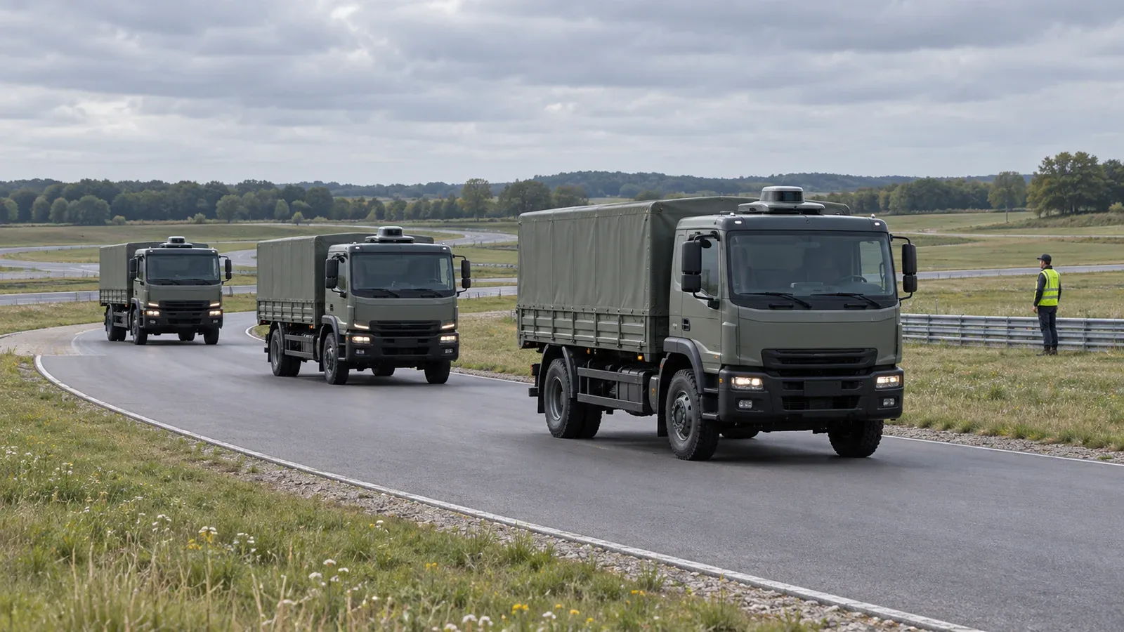
Surface haulage typically follows a managed production network. Komatsu describes FrontRunner trucks using vehicle controllers, precision GPS, radar and laser obstacle detection, and wireless networking. Conventionally operated loading equipment can fill the trucks before they haul to a dump or crusher. The truck can therefore perform its assigned haul without automating every mining activity around it.
Underground loading and hauling introduce confined routes and transitions between work areas. Caterpillar's Command for underground covers options from line-of-sight operation through full autonomy for load-haul-dump machines. Ask which portions of the cycle remain operator-controlled: loading, travelling, dumping and recovery need separate answers. The distinction between autonomous and automated systems helps make that operating responsibility explicit.
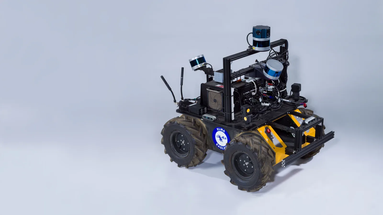
Inspection robots carry sensing equipment through workings rather than transporting ore. Their useful output may be a map or observations tied to a location. The JPL-led team's NeBula research paper describes a broader exploration architecture across wheeled, tracked, legged and flying platforms. Its extreme-environment research is relevant to mining, but does not establish that an arbitrary robot is suitable for a particular production mine.
How sensing becomes machine movement
A practical architecture separates five functions:
- Task management defines the destination or work cycle and the area in which it is allowed.
- State estimation combines measurements into position, orientation and motion estimates, with confidence information.
- Perception identifies nearby obstacles and potentially traversable ground.
- Planning and control select a route, adjust motion locally and command the vehicle.
- Supervision and protective controls determine whether operation may continue and manage transitions to intervention or recovery.
These functions describe the cited systems at an engineering level; they need not run on separate computers. Navigation software and protective functions can exchange data while carrying different safety responsibilities.
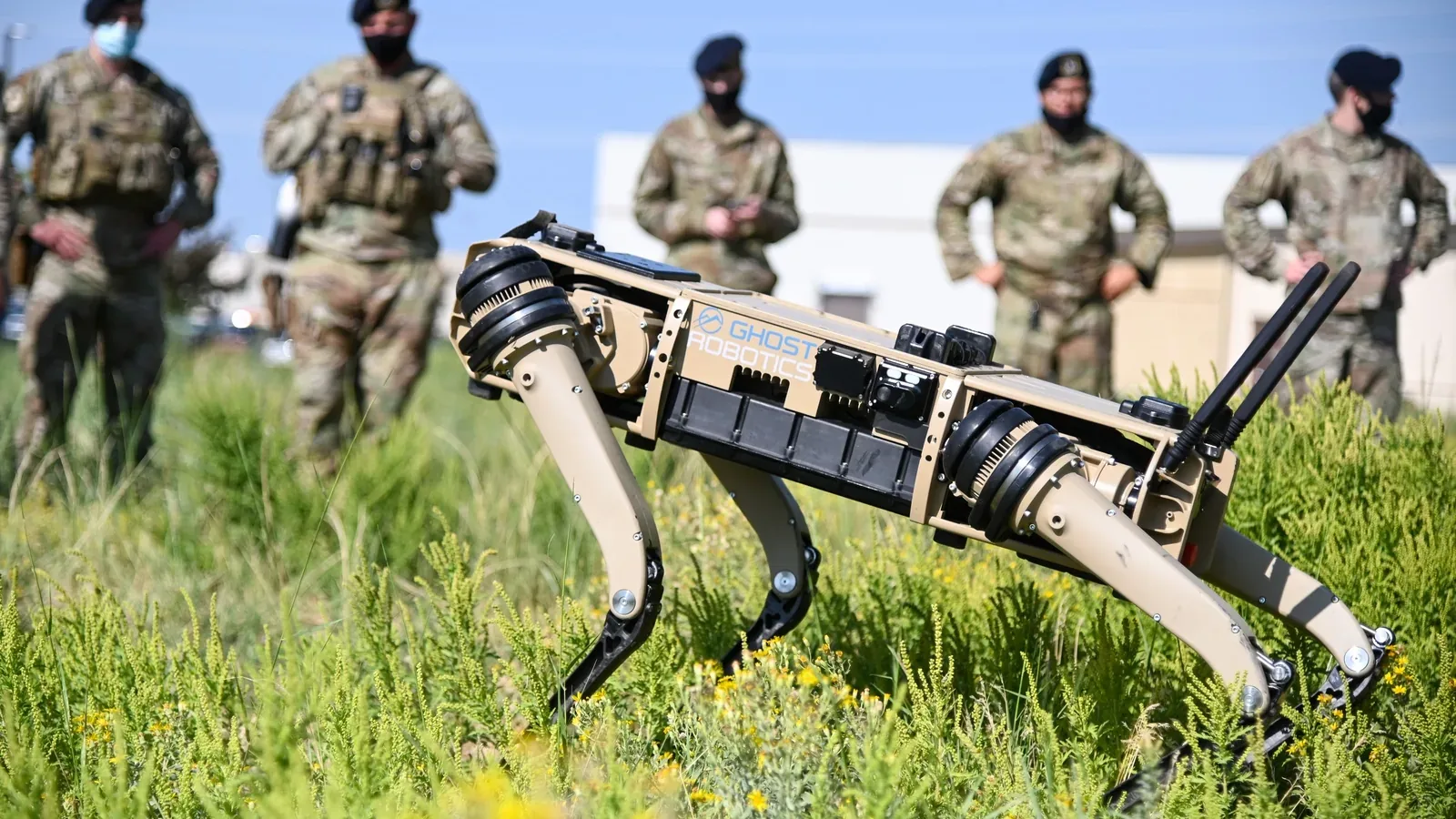
A concrete research example is Gao and Awuah-Offei's March 2026 underground quadruped study. Underground workings lack the GPS positioning available at the surface. The robot instead combines lidar ranges with inertial measurements of acceleration and angular motion to estimate its movement. Matching scans against a previously recorded map corrects accumulated position error. Terrain classification, path planning and velocity control then turn the estimate into movement. Computation runs onboard without requiring a network connection. The map supplies a reference; live sensing supplies the current local scene.
At integration boundaries, specify what each message means. A pose, meaning position and orientation, needs a coordinate frame, measurement time and uncertainty. A motion request needs units, limits and an expiry rule. A controller must distinguish an accepted command from confirmed machine movement. These interface requirements help turn the architecture into an integration specification. The sensor fusion guide explains why timing and calibration matter when measurements are combined.
Trace a navigation cycle
Consider a mapped inspection run to a tunnel junction. The task layer identifies the destination. The position estimator relates the robot's measurements to the map, while local perception describes the space immediately around the vehicle. A route planner chooses a path toward the junction; local planning and control turn that path into the next movement request. New measurements then update the estimate before another request is issued. This is an illustrative reading of the cited architectures, rather than a claim about one supplier's message sequence.
Each handoff answers a different diagnostic question. If the robot stops, was its location uncertain, was the nearby passage blocked, or had operating permission been withdrawn? Those conditions call for different recovery actions. Request records that connect sensor observation times, position estimates, planner decisions and actual motion. A video of a successful run rarely makes those distinctions visible. Logs from the same run can help establish which component decided to stop and which information it used.
Dust and darkness require different responses
Lidar supplies its own illumination, so lack of visible light does not inherently prevent ranging. Darkness can nevertheless remove useful camera information. Dust and smoke can scatter light and obscure visual detail, degrading optical observations. A tunnel's repetitive shape creates another problem: position estimation can become weak even when sensors still produce data.
The September 2026 FIRE-LIVWO preprint treats visual degradation and insufficient geometric information as distinct failure modes. Its experimental estimator combines lidar, inertial, visual, wheel and radar measurements. Radar Doppler measurements contribute motion information, and adaptive fusion changes how measurements influence the estimate under degraded conditions. The practical principle is to monitor what each sensor still contributes. The preprint does not establish immunity to every dust condition or sensor failure.
The NeBula paper describes checking sensor and estimator health and selecting motion estimates according to their quality. Combining sensors is useful when their remaining information complements one another. Adding hardware alone does not establish that the robot can recognize a shared failure or stop appropriately.
For a supplier demonstration, separate three cases: low light with clear air, airborne obscuration, and a long repetitive passage. Request position-error and intervention records for each. A detailed point cloud, the collection of measured points representing surrounding surfaces, does not establish that the robot can locate itself along the tunnel.
TUM's inertial-navigation explanation also shows why carrying motion sensors is insufficient for a lasting position reference. Dead reckoning starts with a known position and accumulates estimated movement. Errors in estimated speed or direction therefore accumulate into position error over time. In a mine, this makes the correction source important: ask what ties the estimate back to the mapped working and how the system detects an unsuccessful match.
For the same reason, an assessment should distinguish loss of a measurement from loss of useful information. A sensor can continue delivering packets while a repetitive corridor provides too little geometry to constrain movement along its length. The FIRE-LIVWO study addresses that distinction through degradation detection and adaptive fusion. Request a demonstration of the reported uncertainty as conditions change, alongside the robot's actual behavior. A system's response to weak information matters as much as its accuracy when every sensor is working well.
Rough terrain changes the meaning of a clear path
An obstacle-free line on a map is only one input to mobility. The NeBula paper evaluates traversability risks including collision, tip-over and traction loss, and describes field tests in muddy coal mines. The engineering implication is to evaluate the vehicle and its route together: space to pass does not demonstrate traction, stability, clearance or a recoverable stopping position.
For example, a passage that clears the chassis can still put a wheel on loose rubble or leave too little room to turn. Evaluate the intended working load as part of the route demonstration, since an unloaded traverse does not establish loaded mobility or stopping behavior. These are practical consequences of assessing terrain and vehicle together.
The following matrix turns the cited sensing and system limitations into proposed site demonstrations. These are engineering evaluation questions rather than a formal test standard.
| Condition | Question to resolve | Demonstration to request |
|---|---|---|
| Darkness with clear air | Can the robot navigate when camera information is reduced? | Demonstrate low-light operation and the trigger for intervention. |
| Airborne dust or smoke | Does the system detect degraded optical measurements? | Show which sensors remain useful and when movement is restricted. |
| Repetitive tunnel geometry | Can the estimator detect uncertainty along the passage? | Compare reported position against an independent reference. |
| Rubble, slope or slippery ground | Can the selected vehicle traverse and stop with its working load? | Demonstrate the agreed load, route and recovery procedure. |
| A route changed since mapping | Does live perception override an obsolete route? | Introduce a controlled obstruction and show the permitted response. |
| Communications interruption | Which local functions continue, and which permissions expire? | Interrupt the link under an approved test procedure and inspect the resulting state. |
| Entry into an automated zone | Does access control prevent conflicting operation? | Demonstrate authorized entry, withdrawal of permission and restart. |
Faster motion can conflict with conservative navigation and recovery. Evaluate completed work across the agreed route, including stops and interventions. For haulage, measure complete load-to-discharge cycles; for inspection, measure usable coverage and successful return. Maximum travel speed alone leaves those operating costs invisible.
Also examine the computing workload during that demonstration. The quadruped paper evaluates its perception-to-action pipeline on onboard hardware, making processing time part of the architecture. For a proposed inspection deployment, request timing records while the intended payload is collecting and recording data. An unloaded software demonstration can leave the cost of the real workload unresolved. Compare the age of the estimate reaching the controller and the frequency of completed updates, as well as whether the mission finished. These are proposed integration checks, not performance figures reported for a commercial robot.
Fleet interfaces and safety boundaries
Sandvik's AutoMine Core description separates loading and hauling from traffic management and access control. Its listed traffic functions include passing bays, deadlock handling and dynamic dispatch. This illustrates why a vehicle may be locally capable of driving forward yet lack permission to occupy the next part of the mine.
Onboard navigation and fleet connectivity also need separate treatment. The quadruped research example can navigate without a network, while JPL treats communications availability as an uncertain part of exploration. For a production deployment, specify which local functions continue after a link failure, which permissions expire, and how the vehicle reports its state after reconnecting. Independent local navigation does not answer those operating questions by itself.
A useful lost-link rehearsal separates three outcomes: vehicle movement, fleet coordination and delivery of inspection data. Record which functions stop immediately and which remain available under the agreed operating procedure. At reconnection, ask how the operator distinguishes current status from delayed messages, whether the vehicle still holds its task permission, and who can authorize a restart. Include a case where the route or zone permission changed while the robot was disconnected. These questions turn a broad claim of communications resilience into observable operating behavior without assuming a universal response for every mine or machine.
Mixed-fleet operation requires more than compatible network connections. In Sandvik's Interoperable Access Control System announcement, third-party machines retain their own control systems while sharing access-controlled zones at different times. The manufacturer specifies functional safety requirements and an onboard interface to the machine's safety circuit. That is a defined integration boundary, not proof that every make and model can be substituted. The open architecture explainer develops that distinction between an accessible interface and verified interoperability.
ISO 17757:2019 addresses autonomous and semi-autonomous earth-moving and mining machine systems, including associated infrastructure, hardware and software. Its published scope covers surface and underground applications and distinguishes remote-control capability, which is covered elsewhere. The scope is a useful starting point for requesting a supplier's safety argument; citing the standard does not demonstrate conformity, certification or permission to operate at a particular mine.
Evaluate the operating envelope and recovery
The quadruped study reported successful completion of all 20 trials in an experimental mine, but required a prior map and did not handle dynamic obstacles. Personnel were excluded apart from an observer at the goal. Those limitations matter more to a mixed production environment than the headline success rate.
Start an evaluation with one defined job, vehicle configuration and route. Agree on changing-ground conditions, allowable uncertainty, communication-loss behavior, access permissions and who may authorize recovery. Require demonstrations of the transitions between normal operation, degraded operation and intervention. A useful mining robot completes its assigned work within those boundaries and makes its limitations visible before a person must approach it.
Sources
- Komatsu: Autonomous haulage system: manufacturer description of FrontRunner sensing, control and loading workflow.
- Caterpillar: Command for underground: manufacturer description of underground control options.
- Agha and colleagues: NeBula, version 4: October 2021 primary research paper on sensing, mobility and communications in the JPL-led team's subterranean exploration architecture.
- Gao and Awuah-Offei: Underground quadruped navigation, version 1: March 2026 research preprint documenting an onboard navigation architecture and bounded experimental trials.
- Technical University of Munich: Inertial navigation: institutional explanation of accelerometers, gyroscopes and motion estimation without external signals.
- Hu and colleagues: FIRE-LIVWO, version 1: September 2026 research preprint on degraded sensing and adaptive odometry; not a production safety approval.
- Sandvik: AutoMine Core: manufacturer description of fleet, traffic and access-control functions.
- Sandvik: Interoperable ACS announcement: June 2024 manufacturer account of the mixed-fleet safety interface and its conditions.
- ISO 17757:2019: official public scope of the autonomous and semi-autonomous machine-system safety standard on ISO's committee site; full requirements are not reproduced here.
Last checked: November 5, 2026.